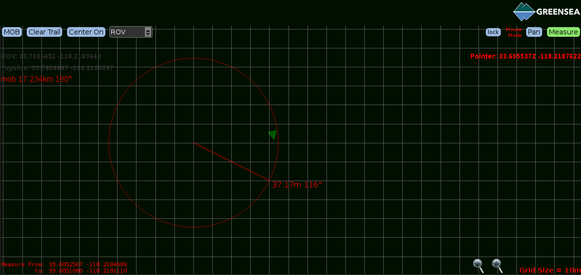
Operators can measure the range and bearing between two points on the map using the measure tool. The Measure button changes the mouse mode so the distance and heading between two selected points can be assessed. The coordinates of the two measured points will display in the bottom left corner of the screen. To enable this feature, press Measure and left-click the screen at point A. Drag the measurement out to point B and release the mouse. The measurement will appear on the grid at the termination of the line and will remain on screen until the grid is clicked or another button is selected.

Category:
Applies to:
Article ID:
16
