|
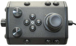
USBLThe USBL system uses acoustic beacons on the surface and ROV to provide a relative location of the ROV with respect to the surface beacon. This location is described by bearing and distance. GPS can be used to convert this relative location into a precise latitude and longitude. |
|
[ Help us improve this document ] [ Print this page |
Mission Specialist
Encyclopedia
Encyclopedia
USBLThe USBL system uses acoustic beacons on the surface and ROV to provide a relative location of the ROV with respect to the surface beacon. This location is described by bearing and distance. GPS can be used to convert this relative location into a precise latitude and longitude. |
|
|
[ Help us improve this document ] [ Print this page |


